

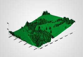
Aerial

Profiling System Airborne Laser and Orthophoto
Bathymetry

Bathymetry System for measuring the depth of water bodies
Mobile

Mobile Laser Profiling System or “Mobile Mapper”.
Land

Terrestrial Laser Profiling System.
TDEM

Electromagnetic Exploration System in the Time Domain.
MDS
MDT

Contour Lines

Orthophotos
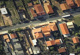
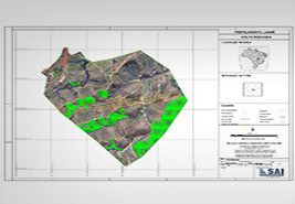
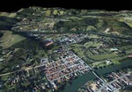
Cartography Products
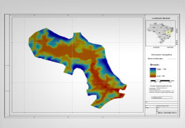
Hypsometric Image
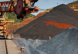
Volumetric Calculations
Entries
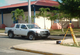
Field support (topography)
3D videos

Densified with point cloud
Densified MDT with point cloud

Cartography 1:500

3D registrations
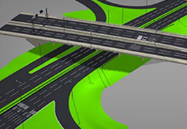
3D mockups
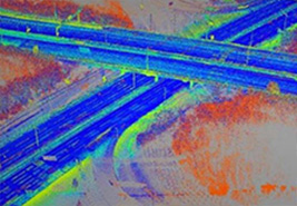
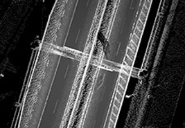
Point cloud
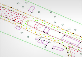
Vectorization

MDT Risk Areas
Interpreted sections

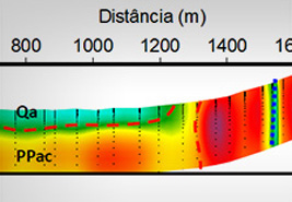
2D underground images interpreted
The products developed by SAI are essential tools for managing, planning and execution of infrastructure projects, energy, transport, pipelines, environment, among others.